
EXPLANATION:
THE TABLE BELOW THIS INTRO STARTED OUT as a list, derived from the log I commenced writing up to act as an aide memoire of camping and walking experiences in the wilds; of the hills climbed during such initiatives in Scotland, specifically Munro mountains, in the order that I visited them. After all, people these days set out with the aspiration to do them all. It has become a 'thing', ticking them off. That's not me, but no harm in making a note of the mountains that one has been up, surely? And anyway I can't help liking lists, call it a side line associated with the ordering and presentation of data that underpinned my professional career at various times.
 Yellow coded maps on the list are what is now called the ‘Outdoor Leisure’ series (1: 25 000 second series). They don't look like this anymore, sadly: they are just like Explorers (see below). Where's the pleasure in that?
 Green coded maps are the long defunct 1: 25 000 second series, the later 'small sheet' editions being called ‘Pathfinder’. My favourites… small enough to handle outdoors, detailed enough to show what one needs to know. Usually they showed 20 x10 kms.
 The Pathfinder series evolved into the ‘Explorer’ series, which hadn't started appearing when I was still going to Scotland so don't feature in my list These now cover the entire country. 1: 25 000 second series, big sheets, double sided in some cases, and rather impractical out there in the gales. Proper maps though. You can get digital downloads of them as well. Their covers often feature grade two holiday snaps like this one. Honestly! These maps get the Ordnance Survey top dressing of crass blue tourist symbols and pictograms that often compromise more important detail.
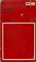 Maps coded red on the list are the non metric ‘one inch’ 1:63360 seventh (and final) series or one inch scale tourist maps. Long gone of course, and tending to be a bit notional in the more remote regions, with some notable mistakes on occasion. The red style of cover saw the series out. Not pretty. The mapping itself was rather good looking and mostly hand drawn.
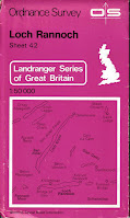 Maps coded magenta are the 1: 50 000 metric series, now called the ‘Landranger’ maps. Not enough detail for my liking and without much authority either. Used in extremis only. I dislike them in fact. Toy-Town mapping… especially with built up areas and covered overall with daft blue 'tourist' information symbols. Pah! As for the early covers… FGS!
These days I think most serious hill exploring folk would be using the Explorer series, either in paper form or the digital versions that can be downloaded onto a smart phone and indicating your position in the landscape via GPS. But caution! Useful as this may be, phones can and do run out of charge. Always carry good old paper maps, your life may depend on it…


Let's be clear: The list does not include any associated tops and Corbetts, often just as worthy of visitation as Munros; I usually noted those hills in my log (which is in long-hand and never likely to be seen in any other format, that's for sure).
What does this list reveal?
Regrettably l find I have only ‘topped’ slightly less than half of the current list of Munros in the twenty years where Scotland was my hillwalking focus. Even though I gained four Munros without even stirring from the comfort of my own home, when some nerd decided former tops met the criteria for Munro status (and I'd done 'em).
Non-Munro hills which I climbed for their own distinctiveness that are on the list are in italic. Heights are in metres and the Munro ranking I’ve used is according to the SMC (1980).
Maps colour coded and listed against each hill are usually the ones I used ‘in the field,’ but in some instances, later editions with better coverage are indicated if I’ve subsequently collected them. When I first started exploring the Highlands I sometimes resorted to buying the only available maps as unfolded sheets, which I had to fold as carefully as possible so as to be useable out there in the wilderness.
Otherwise:


These days I think most serious hill exploring folk would be using the Explorer series, either in paper form or the digital versions that can be downloaded onto a smart phone and indicating your position in the landscape via GPS. But caution! Useful as this may be, phones can and do run out of charge. Always carry good old paper maps, your life may depend on it…

Here's the list, almost entirely for my benefit you understand, but you are welcome to take a look – if your device can screen it at an intelligible size. The ranking of the Munros is as it was defined by SMC in 1980. I haven't taken into account the additional hills (as far as rank order is concerned) that have been subsequently upgraded to Munros, added to the list but not ranked by me at any rate, hence the grey blanks in the ranking column. As if you were bothered.Anyway, who cares about rankings?
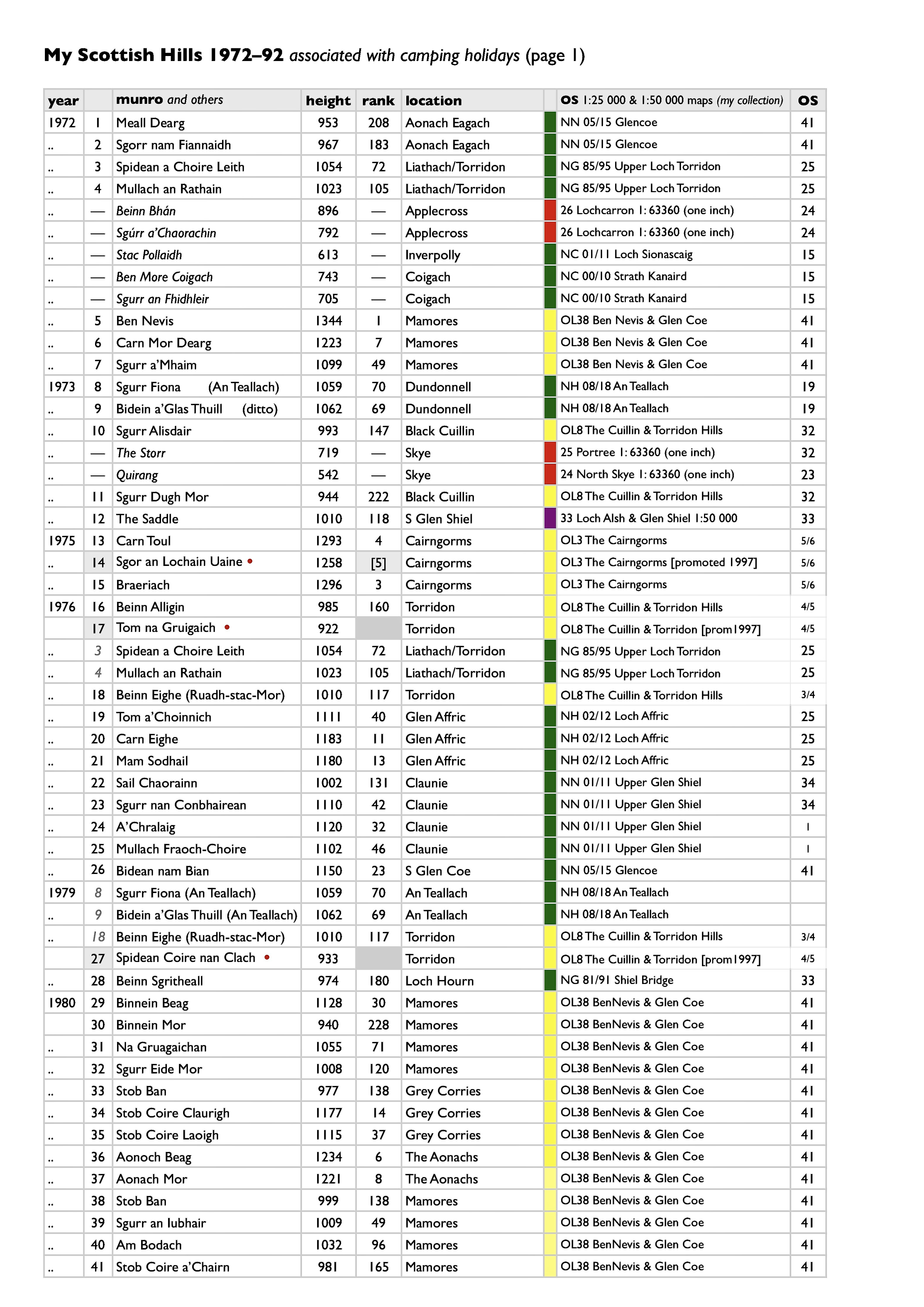


Most important of all however, is the facility this list affords me to remember, recall, order, and even relive to some extent those trips north. Some went wrong of course – but most went well, Very well. Nothing stays the same however… not even this list!

banner/title illustration: Black Cuillin, Skye as seen from Elgol by your author.